|
Radar Birding: What’s It All About |
|
|
Stay on the cutting edge of birding with RADAR data!
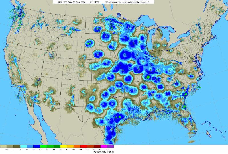
During the spring and fall migration seasons, migrating passerines (songbirds) stopover to feed and rest during the day, then take off at sunset to migrate. Millions of birds take off for these nightly flights at almost the same time. So many are flying up into the atmosphere that radio waves from RADAR stations bounce off the large flocks, creating a distinct signature.
Follow this link to see a looping animation of a NEXRAD RADAR map from May 7th, 2013. At first you will see clouds moving, but wait for a large surge of blue and green moving from east to west across the country — those are birds taking off at sunset! Note the very large concentration along the Gulf Coast-there’s a reason High Island and other Gulf Coast birding sites are so famous for their spring migration.
Of course, we can’t tell which species exactly are migrating, or exactly which habitat patches they are using, but we can get a really good general idea of the intensity of migration through observing RADAR maps. You can use RADAR data to help with your own birding. Knowing a bit about what time of year certain birds migrate will help. For example, Yellow-rumped Warblers and Pine Warblers tend to be early season migrants, while Wood Thrushes tend to come through a little bit later. If you combine RADAR data with historical data on the timing of migration for certain bird species, you can predict pretty well what you might see on a morning of birding.
There are a few websites dedicated to birding with RADAR data. Woodcreeper.com is a blog that summarizes RADAR data for the Upper Midwest states. The United States Geological Survey also provides a good primer on RADAR birding (or “aerofauna”, as they call it), with links to many other useful websites here.
Scientists continue to study RADAR data and are using computers to automate detection of bird flocks. They are comparing weather data, landscape data and data from other sources to learn more about how birds migrate. Use RADAR data to aid in your own birding excursions, and let us know about what you are finding out! |